Infrastructure Is Entering Its Climate Resilient, Data Driven Era


Photo Credit: Nansan Houn - iStock
Public infrastructure is having a once in a generation moment. Trillions in federal investment, rising climate risks, and growing public scrutiny are forcing cities to rethink what they build, where they build it, and how they measure success. Concrete alone is no longer enough.
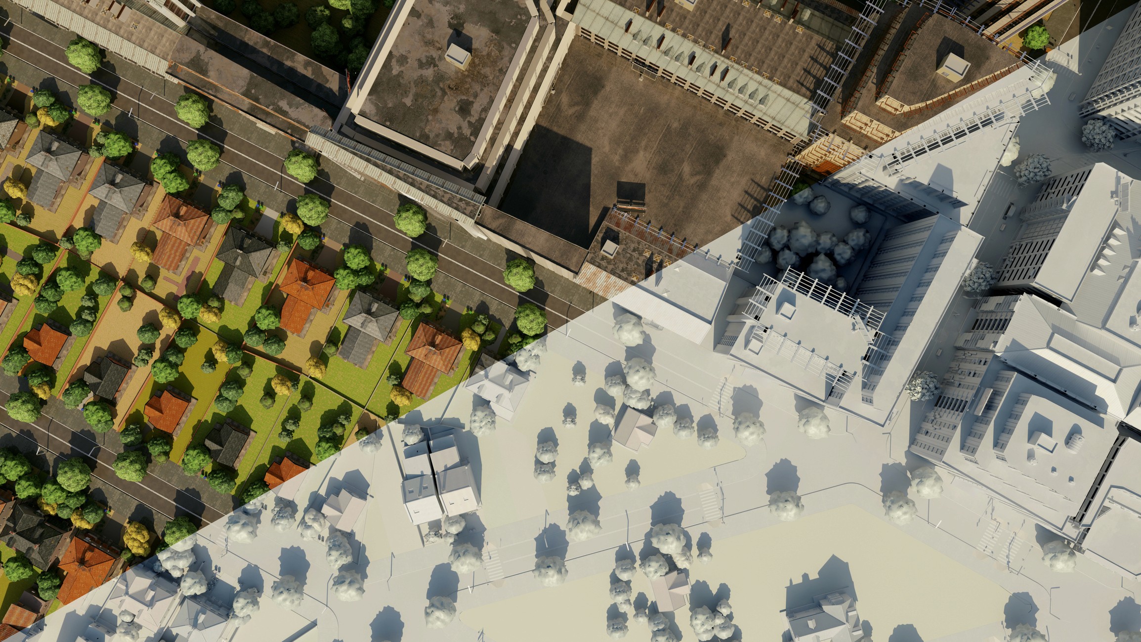
Infrastructure is entering a climate resilient, data driven era, where green roofs and coastal parks sit alongside tunnels, bridges, and high speed rail, all informed by real time climate intelligence from satellites and sensors. That same shift toward data driven decision making is already reshaping the built world, especially as AI interprets these signals and turns them into practical guidance for planners and operators, a trend we explored in our recent blog on how AI is reshaping real estate and PropTech.
This piece looks at how three powerful forces, Urban Green Infrastructure, major public works, and satellite based climate monitoring, are converging to define the next chapter of infrastructure.
The Shift From Static Assets to Adaptive Infrastructure
For most of the last century, infrastructure was treated as something you built once and maintained slowly over time. Bridges, tunnels, highways, pipes, and power lines were designed for historical weather patterns and stable demand. That world is gone.
The rise of extreme weather, aging systems, and new expectations for accountability have pushed cities toward adaptive, responsive strategies. Much of this evolution begins with the shift toward Urban Green Infrastructure, which has become a core climate resilience strategy for cities worldwide. As explored in this overview of urban green infrastructure for climate resilience, UGI is no longer decorative, it is essential climate hardware.
This momentum mirrors what is happening inside the smart home ecosystem, where Matter 1.5 is bringing order and interoperability to previously fragmented device networks, a trend we covered in our Matter 1.5 update. Infrastructure is experiencing that same push toward interoperability and integrated resilience planning.
Cities are evolving from static asset owners to managers of adaptive systems that can absorb stress, operate dynamically, and deliver measurable climate performance.
How Green Systems, Mega Builds, and Space Data Are Already Working
Urban Green Infrastructure as Climate Hardware
Urban Green Infrastructure is emerging as one of the most effective tools cities have to manage rising temperatures, stormwater, and public health impacts. UGI can:
reduce temperatures in heat vulnerable neighborhoods
absorb stormwater before drainage systems are overwhelmed
improve air quality
create equitable access to green space
This balance of resilience and accessibility mirrors themes in our smart home coverage, where human centered design and climate benefits increasingly overlap, as described in our Matter deep dive.
Megaprojects That Bake in Resilience
These shifts are visible in many of the largest public infrastructure projects currently underway, from flood barriers to rail expansions, as outlined in recent reporting on major U.S. public infrastructure builds. A few examples include:
East Side Coastal Resiliency Project, Manhattan
A 2.4 mile flood protection system that elevates parks, redesigns public spaces, and integrates protection directly into the community fabric.Seattle Ship Canal Water Quality Project
A new 2.7 mile tunnel designed to store stormwater and sewage during heavy rains, preventing polluted overflow into Lake Union and Salmon Bay.California High Speed Rail and the Southwest Light Rail Extension
Major rail investments that provide low emission travel options, connect job centers, and relieve highway congestion.
These megaprojects represent the engineered backbone of climate resilience, complementing green systems on the surface.
Satellites as the New Climate Dashboard
Satellite monitoring is becoming essential for how infrastructure owners measure climate exposure and adaptation success. A recent ESA backed study on why climate adaptation needs satellite eyes shows how Earth observation supports hazard mapping, flood detection, heat island tracking, and long term baseline analysis.
Additional research expands on this, demonstrating how universities and AI models are connecting these datasets to on the ground adaptation performance. The University of Galway’s work, outlined in this overview of how satellites help track climate adaptation, shows how Earth observation enables consistent, global, decades long climate intelligence that infrastructure planners have historically lacked.
As AI continues to advance, these satellite datasets will increasingly inform and optimize climate adaptation strategies, much like the AI systems reshaping real estate workflows that we explored in our AI x Real Estate article.
What This Means for Cities, Operators, and Investors
From Projects to Portfolios
Resilience now requires portfolios that combine:
engineered assets
nature based systems
digital monitoring tools
The question is not just what cities build, but how these layers work together during heat waves, floods, and extreme weather.
Measurement Becomes Mandatory
The Global Goal on Adaptation is accelerating efforts to create measurable, standardized indicators for climate resilience outcomes. Infrastructure owners will increasingly need to demonstrate:
reduced heat exposure
reduced flood risk
improved air and water quality
measurable benefits for underserved communities
Satellites, AI models, long term datasets, and digital twins will power the next generation of infrastructure performance dashboards.
A New Skills Mix
Infrastructure organizations will need deeper capabilities in:
climate analytics
geospatial intelligence
green engineering
sensor integration
community centered design
This mirrors the increasing convergence of technology, resilience, and user experience that we see in both real estate and the smart home industry.
What Infrastructure 2.0 Could Look Like by 2035
By the 2030s, many cities will deploy:
hybrid flood parks
green corridors
sensor equipped transit and rail systems
satellite informed early warning networks
AI optimized cooling and shading systems
nature based stormwater networks
Cities that embrace this evolution early will benefit from fewer disruptions, stronger economic growth, better public health outcomes, and more equitable access to resilience benefits.
Building Climate Resilient, Data Driven Infrastructure
Infrastructure is changing, and the three forces shaping that change are clear:
Urban Green Infrastructure that cools neighborhoods and absorbs water
Climate ready megaprojects that modernize transportation and protect coastlines
Satellite driven climate intelligence that verifies what works and where urgency is rising
This mirrors broader momentum in smart living and PropTech, where interoperability, data visibility, and climate performance are becoming central expectations.
As we move toward the Smarter Infrastructure Show in 2026, the opportunity is clear, align nature based systems, engineering, and data early, and build cities that are ready not just for today, but for the climate realities of the next century.